A place
Morialta — a hills gorge
A fault-cut gorge on the range front, twenty minutes from the city, where a creek runs hard after winter rain, ferns keep to the shaded floor, and a dry February waterfall is telling the truth, not failing.
- On the gradient
- The step made walkable — where a creek has sawn down through the rising fault scarp into a fern-shaded pocket of the wet refuge
- Rock
- A steep gorge cut by First Creek into the uplifted basement of the Adelaide Hills range-front fault scarp
- Soil
- Shallow, rocky range-front soils on the ridges; damp, humus-rich mud on the shaded gorge floor
Locate this place on the map →
What you'll take away
- Read Morialta's abrupt gorge walls as part of the same active range-front fault system that scarps the whole eastern city, not as ordinary stream erosion.
- Explain why the waterfall is seasonal — a direct, visible demonstration of the region's wet-winter, dry-summer rule — and why a dry cascade in February is an honest reading of the climate, not a broken one.
- Connect the gorge's fern-shaded floor to the wider mesic refugium of the ranges, and explain why shade and elevation, not distance from the coast, are what keep it wet.
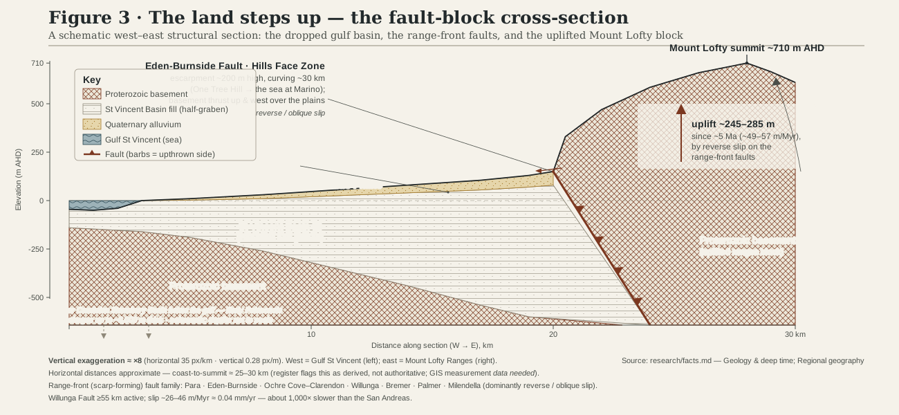
Twenty minutes from the city there is a place where the ground stops being flat. You walk in along the creek and the walls close in on both sides, steep and stony, until you are standing at the bottom of a slot cut clean through the hill — not a valley that has slowly worn itself soft, but a gorge with an edge to it, as though the country had been cracked open. That impression is exactly right. Morialta sits on the same range-front fault scarp that walls the whole eastern side of Adelaide, the torn seam where old basement rock is still, slowly, being shoved up and over the plain (Sandiford 2003; Quigley et al. 2010). First Creek has spent a long time sawing down through that rising step, and the gorge is the record of the contest between a fault pushing land up and a creek cutting it back down.
Climb out of the gorge onto the ridge above and the country turns dry and open — stringybark and grass tree country, cicadas, hard light. Drop back down to the creek line and, within a few strides, it turns cool, shaded and green again: ferns along the banks, damp black litter underfoot, the particular hush of a place the summer sun never quite reaches. That contrast is the whole logic of the ranges in miniature. The high country here catches close to double the rain the plains receive below, and the extra water, banked up by elevation and locked in by shade, is what keeps a gully like this one damp enough for ferns while the exposed ridge above bakes (Armstrong et al. 2003). Morialta’s gorge floor is a small, accessible chip off the same mesic refuge that shelters the ranges’ rarer, wetter things further south — no less real for being an easy walk from the car park.
None of this runs the same all year. The falls that give the gorge its reputation are a winter-and-spring event: First Creek swells with the season’s rain and comes down the rock faces in earnest, then eases back through summer to a trickle or, in a dry year, nothing you would call a waterfall at all. A gorge running hard in August and bone-dry in February is not a landscape failing to perform — it is the Mediterranean bargain, wet winter and rainless summer, written out in the clearest terms the range front has to offer. Come in the right month and you can watch a fault, a season and a refuge all doing their work in the same short walk.
Sources for this guide · 3
Every claim here is traceable. Each citation links to its entry in the bibliography.
- Sandiford, M. (2003). Neotectonics of southeastern Australia: linking the Quaternary faulting record with seismicity and in situ stress. Geological Society of Australia Special Publication 22:107–119. — Neotectonic uplift rates on the range-front faults that raised the scarp Morialta's gorge cuts into.
- Quigley, M.C., Clark, D. & Sandiford, M. (2010). Tectonic geomorphology of Australia. Geological Society, London, Special Publications 346:243–265. https://doi.org/10.1144/SP346.13 — The reverse-fault mechanism thrusting old basement up over the plains along the range front.
- Armstrong, D.M., Croft, S.J. & Foulkes, J.N. (2003). A Biological Survey of the Southern Mount Lofty Ranges, South Australia, 2000–2001. Department for Environment and Heritage, South Australia. https://data.environment.sa.gov.au/Content/Publications/Southern-Mount-Lofty-Ranges-BioSurvey.pdf — The Mount Lofty rainfall gradient and gully/refuge habitat Morialta's fern-shaded floor belongs to.
Concepts this teaches — follow a thread
A continent that still movesThe mesic refugium (a wet island in a dry land)
More guides like this
Barker InletCleland — the range frontHallett Cove — the glacial pavementKarrawirra Pari — the TorrensMount Lofty summitNgarkat — the great mallee reserve
Test yourself →
You walk into a gorge twenty minutes from Adelaide. Its walls close in abruptly, steep and stony, as though the ground had cracked open rather than worn away over time. Climb onto the ridge above and it's dry, open stringybark country in hard light; drop back to the creek and within a few strides it's cool, shaded and fern-lined. It's February, and the waterfall you came to see is barely a trickle. What are you reading here?
Cues: Gorge walls that close in abruptly, as if the ground had cracked rather than eroded soft · Dry, open stringybark ridge just a few strides from a cool, fern-lined creek floor · A reputedly scenic waterfall reduced to a trickle in February
The abrupt, cracked-looking walls are the tell of an active range-front fault scarp, where old basement rock is still being thrust up over the plain, and First Creek has spent a long time sawing down through that rising step (Sandiford 2003; Quigley et al. 2010). The sharp flip from dry ridge to fern-lined creek floor a few strides away is the mesic refuge in miniature — the extra rain the high country catches, banked by elevation and locked in by shade, keeping the gully damp while the exposed ridge bakes (Armstrong et al. 2003). And a trickling February waterfall is not a landscape faltering; it is the wet-winter, dry-summer bargain of the region stated plainly.